|
| *****SWAAG_ID***** | 717 |
| Date Entered | 14/04/2013 |
| Updated on | 14/04/2013 |
| Recorded by | Tim Laurie |
| Category | Mining Related |
| Record Type | Industrial Archaeology |
| Site Access | Public Footpath |
| Record Date | 04/04/2013 |
| Location | Marrick CP. Hurst. Shaw Gill. |
| Civil Parish | Marrick |
| Brit. National Grid | NZ 0664 0252 |
| Altitude | 250m |
| Geology | Stream cut ravine through Richmond Chert strata. |
| Record Name | The Prys Level Lead Mine Complex in Shaw Gill. Spring 2013. |
| Record Description | The Prys Level.
'In 1859 a long adit was driven frm Shaw Beck below White Scar to reach the Shaw Vein 252m from the portal....' For a detailed description of the further extent of these workings, see K.C.Dunham and A.A.Wilson: British Geological Survey. 'Geology of the North Pennine Orefield, Vol.2 Stainmore to Craven, pp149,150
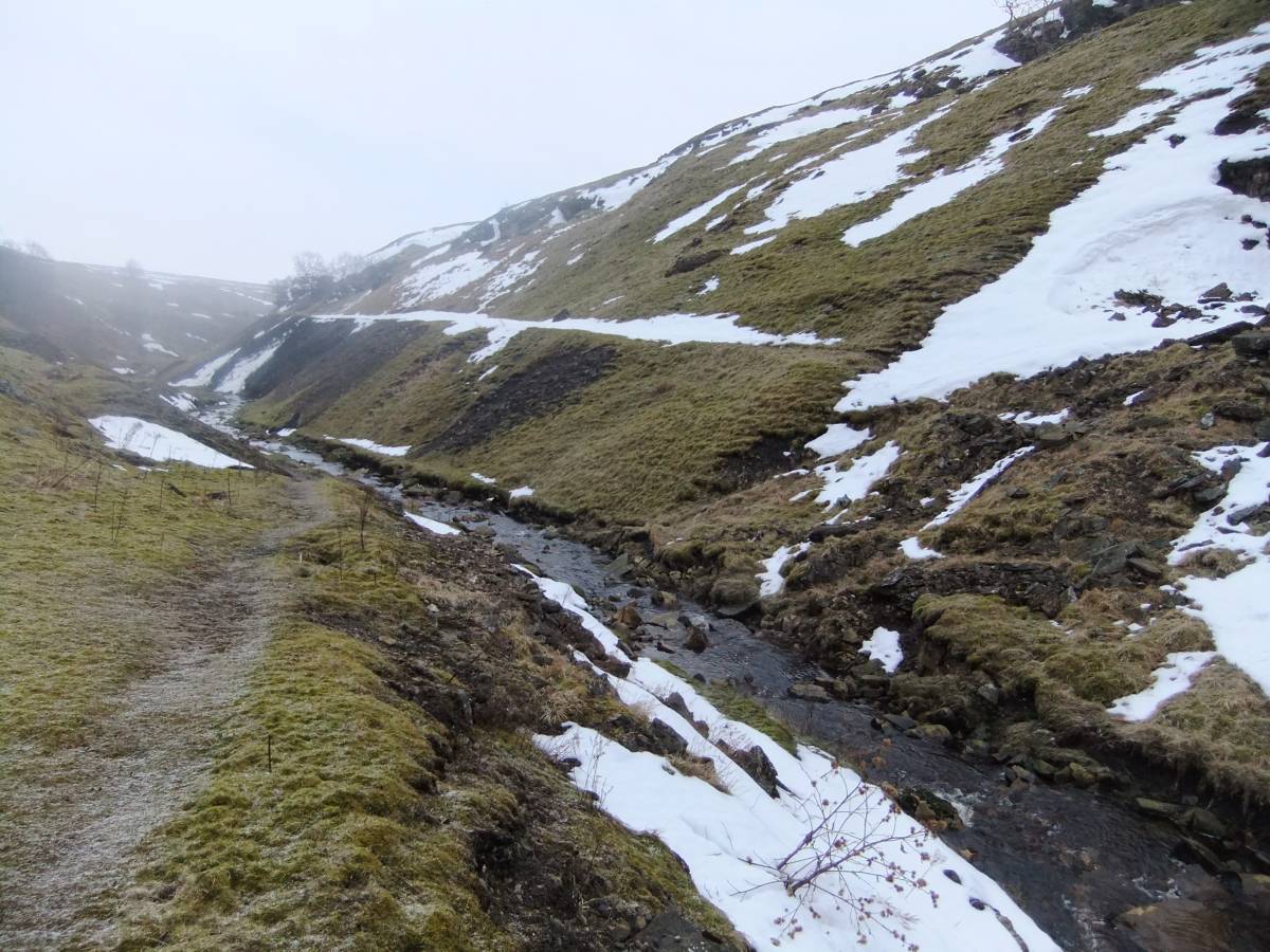
These photographs were taken during a snow shower while walking from Hurst through Shaw Gill to Helwith Farm and returning to Hurst via Holgate Gill and the Goats Road, see also Swaag Records Nos ... |
| Dimensions | See photos |
| Additional Notes | The location of the Level portal is at the head of the extensive tailings near the Mine Office Building.
It was my impression that the roof of this building had suffered further collapse damage from the recent heavy snow. |
| Image 1 ID | 4380 Click image to enlarge |
| Image 1 Description | The Prys Level and Mine Shop in Shaw Gill. | 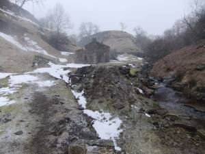 |
| Image 2 ID | 4381 Click image to enlarge |
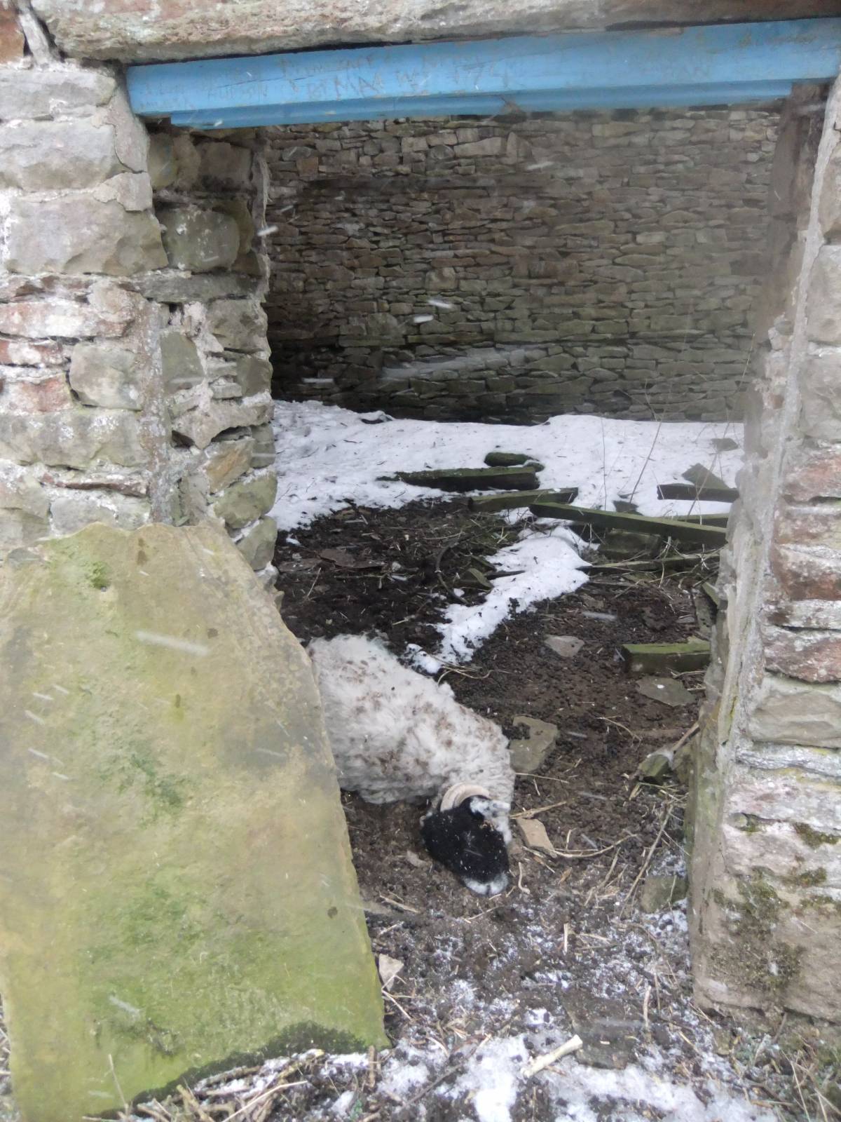
| Image 2 Description | Dead sheep, one of two recent casualties, at entrance door to the mine office. |  |
| Image 3 ID | 4382 Click image to enlarge |
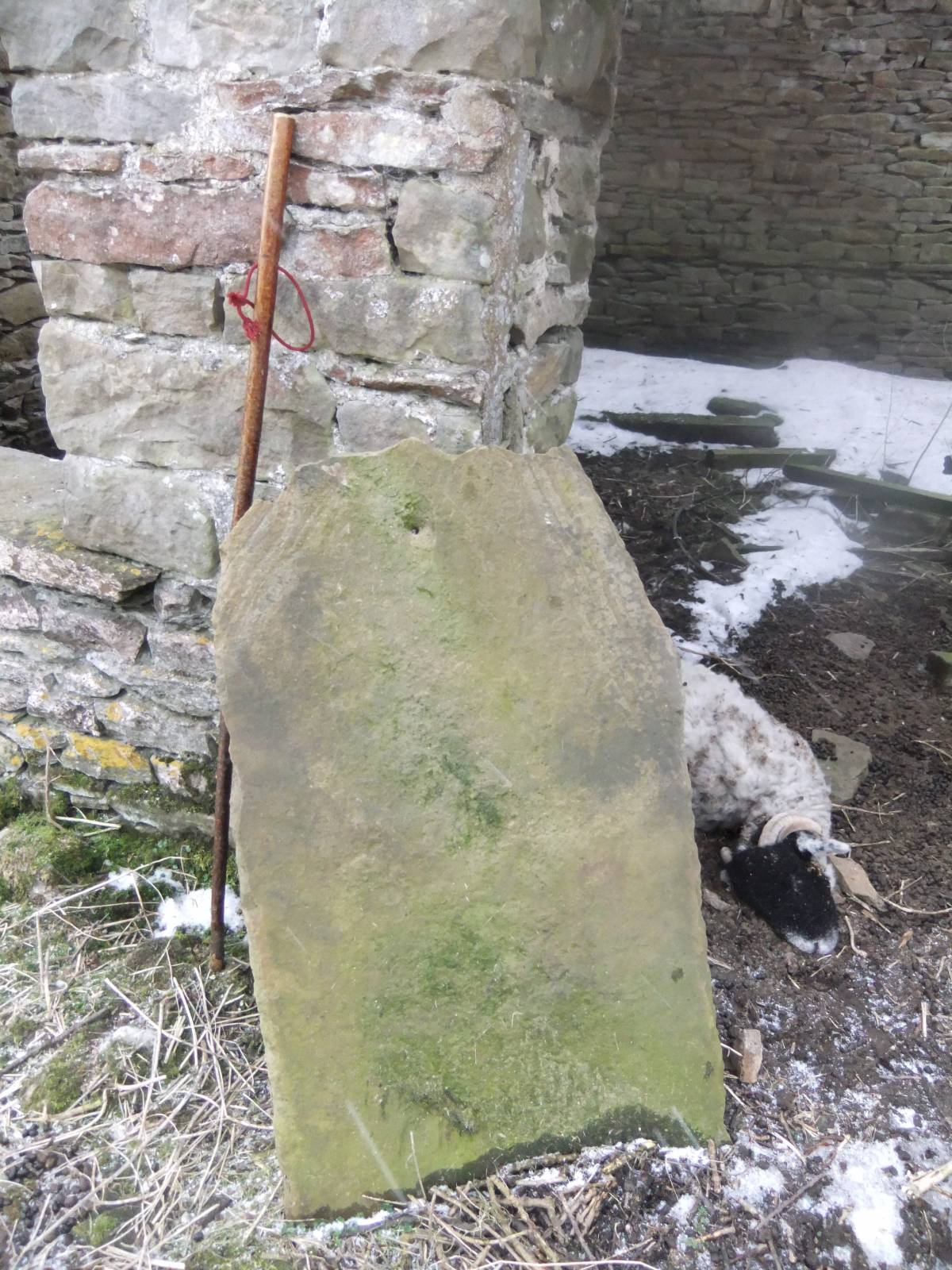
| Image 3 Description | Stone slate, with peg hole. | 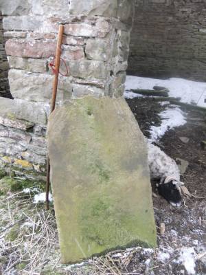 |
| Image 4 ID | 4384 Click image to enlarge |
| Image 4 Description | The ruined roof with king post roof truss. | 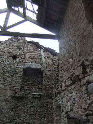 |
| Image 5 ID | 4383 Click image to enlarge |
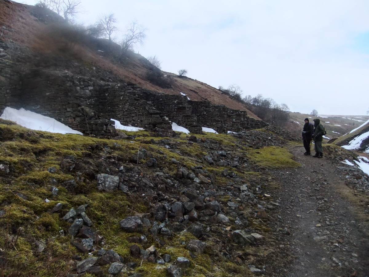
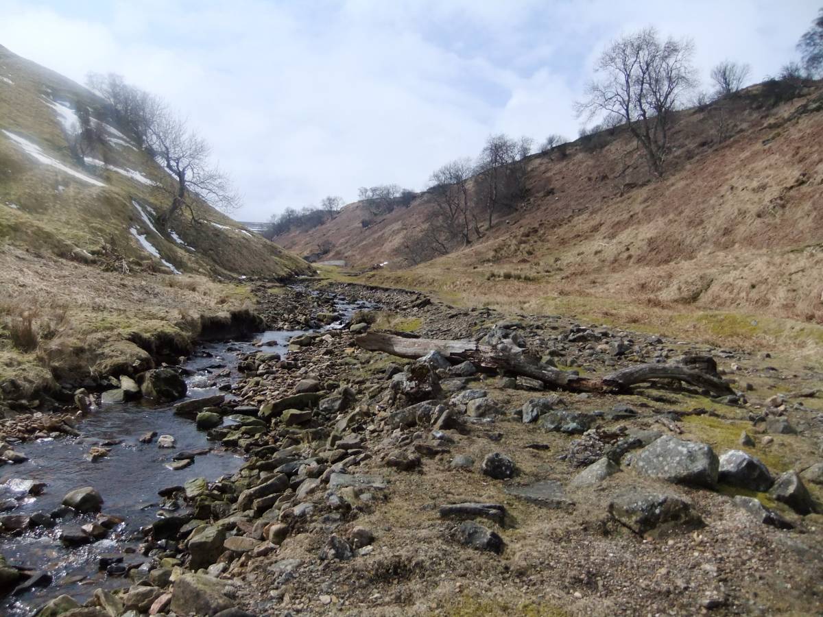
| Image 5 Description | Tailings or spoil heap on bank of Shaw beck. | 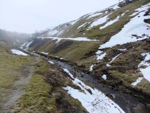 |
| Image 6 ID | 4385 Click image to enlarge |
| Image 6 Description | Booze teams or open lead ore storage bays. | 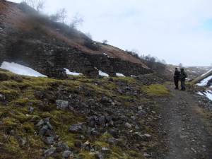 |
| Image 7 ID | 4386 Click image to enlarge |
| Image 7 Description | Lead mine structures and lead contaminated concentrate residue heaps. Who worried or worries now about lead pollution to the stream? | 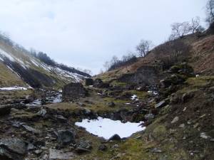 |
| Image 8 ID | 4387 Click image to enlarge |
| Image 8 Description | Finally the snow stopped and the sun shone in Shaw Gill. |  |